







Join those already making a difference with us!

TECHNOLOGY FOR SMART LAND MANAGEMENT

Our services

Crop monitoring

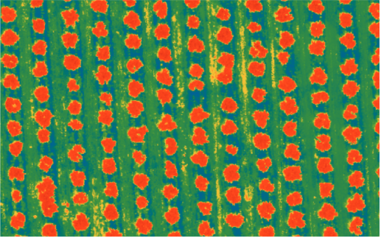
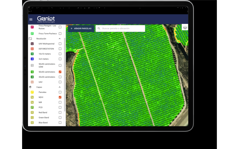
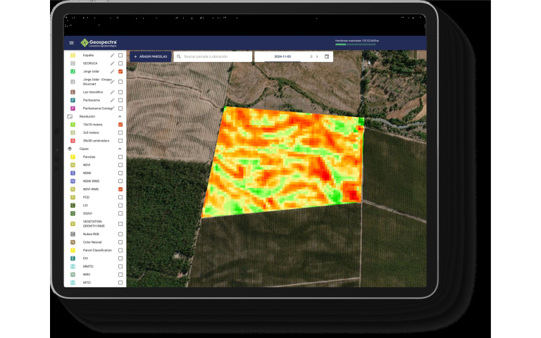
Get a continuous view of your plantation's health through advanced vegetation indices, anticipating water or nutrient problems and making decisions based on real, up-to-date data.

Discover more
Tree inventory and analysis

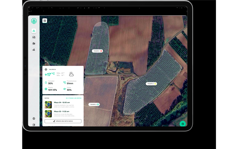
Use geospatial intelligence for tree-by-tree analysis, enabling precise inventory management, growth-anomaly detection, and optimized input use across every sector of your estate.

Discover more
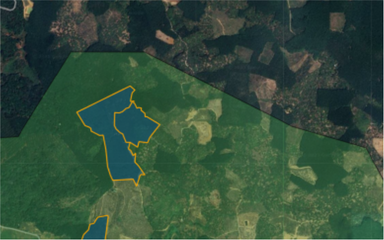
EUDR deforestation compliance

Ensure full traceability of your supply chain with non-deforestation reports generated at scale, guaranteeing that every parcel meets European standards for export without legal risk.

Discover more
Road infrastructure monitoring

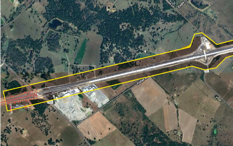
Monitor construction progress and pavement condition remotely, using satellite data to prioritize preventive maintenance and drastically reduce technical inspection costs.

Discover more

Our technology:

Integrate our data in any of the following 3 ways.

Geospatial monitoring web platform

Track your Areas of Interest (AOIs) with satellite technology through our dedicated web platform with over 20 GIS features.

API for satellite data integration

Do you have your own platform or application WITH maps integrated? We make it easy to integrate our satellite information layers directly through our API.

Embedded Maps (Plug & Play)

Do you have a platform or application WITHOUT maps integrated? Add our application directly as a plugin to your daily operations — no development required.

Industries we serve

Road infrastructure

Road network monitoring has become unsustainable under traditional methods. Late detection of pavement defects and the high cost of manual inspections compromise both profitability and safety. The current challenge is to transform reactive inspection into preventive management based on continuous data.

Vegetation

The sector operates in an environment of uncertainty marked by climate variability and unprecedented regulatory pressure. The inability to monitor large areas, combined with the demand for full traceability (EUDR), forces companies to seek new ways to ensure a deforestation-free supply chain.

Customer testimonials

I see the real condition of every tree and apply inputs only where my crop actually needs them.

Francisca Escoi Quality Manager

I process thousands of parcels in a single submission and get the results without operational bottlenecks.

Pepe Costa CEO

Now I have the exact inventory of my trees and real control over what's happening on my estate.

José María Marín Manager

I have all my parcels organized on the platform and it saves me a lot of time every day.

Emanuele Gosamo CEO

Graniot's embedded maps let us easily incorporate satellite technology into Dataris.

Guillermo Mateo CEO
Graniot Blog

Stay informed about our latest corporate news, new product feature launches, and a curated selection of technical articles designed to explore the potential of geospatial intelligence across different sectors.