
Crop monitoring
Get a continuous view of your plantation's health through advanced vegetation indices, anticipating water or nutrient problems and making decisions based on real, up-to-date data.
Analyze deforestation risk at parcel level using satellite imagery and geospatial data. Access risk results and supporting evidence, and integrate the analysis into your existing platform through our API.
Analyze agricultural parcels using their geographic boundaries to identify potential deforestation risks and obtain results for each location.
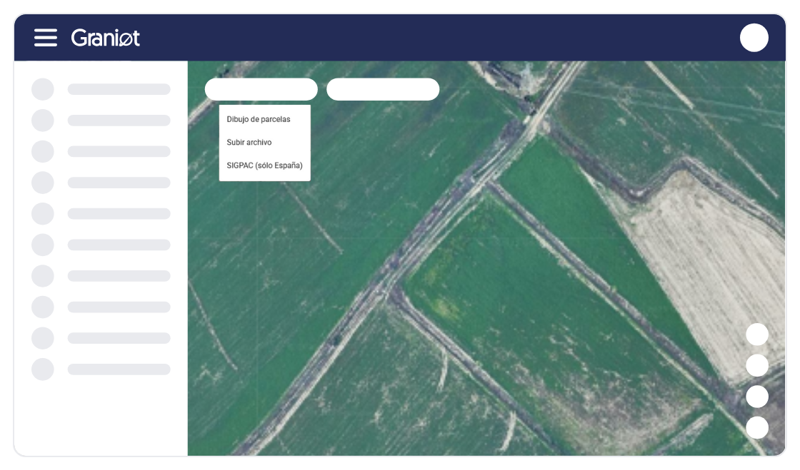
Combine satellite imagery and geospatial analysis to assess land-cover changes and identify potential deforestation since the EUDR reference date of 31 December 2020.
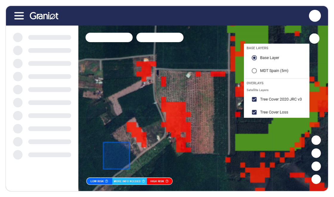
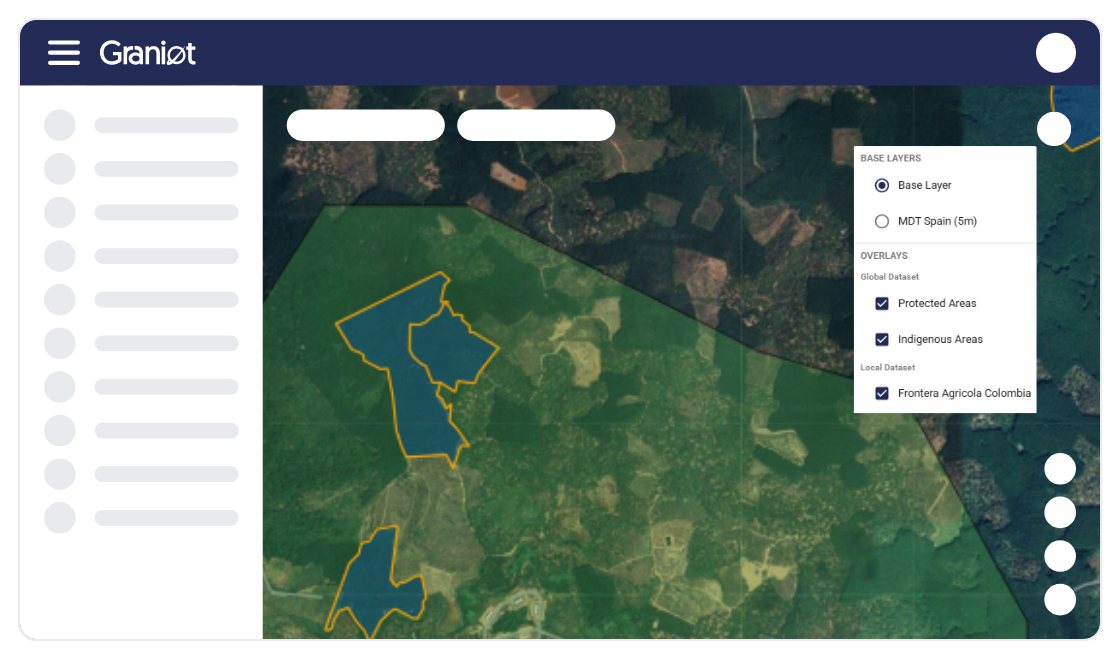
Receive parcel-level risk classifications and geospatial evidence to support further review and EUDR due diligence processes.
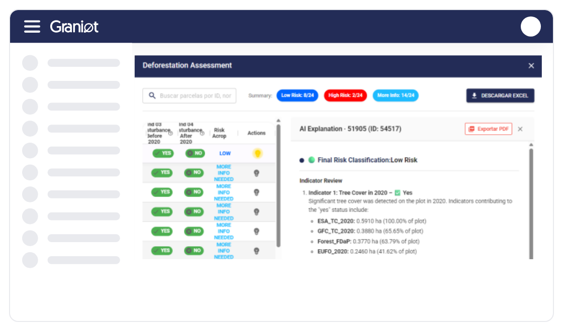
Access results through reports, geospatial files or API responses, making it easier to incorporate deforestation risk analysis into existing business systems.
Discover how Graniot can help you assess deforestation risk across your parcels and integrate satellite-based results into your existing workflows.
Save Time on Parcel Assessments. Automate geospatial analysis across multiple parcels and reduce the manual effort required to review deforestation risk.
Make More Informed Decisions. Access structured risk results and supporting geospatial evidence to identify parcels that may require further investigation.
Scale Without Complex Integrations. Incorporate deforestation risk analysis into your existing platform through an API, without developing your own satellite processing infrastructure.
Support Your EUDR Workflows. Use parcel-level analysis and supporting evidence as technical inputs for your existing EUDR risk assessment and due diligence processes.
Built to support geospatial analysis at scale. Graniot has processed more than 30,000 geometries covering 1.6 million hectares across multiple regions. Our technology helps businesses incorporate satellite-based deforestation risk analysis into their existing operations.







I see the real condition of every tree and apply inputs only where my crop actually needs them.
I process thousands of parcels in a single submission and get the results without operational bottlenecks.

Now I have the exact inventory of my trees and real control over what's happening on my estate.
I have all my parcels organized on the platform and it saves me a lot of time every day.

Graniot's embedded maps let us easily incorporate satellite technology into Dataris.
Send us your questions or requirements. Our team of experts will contact you to design a tailored solution that boosts your operational efficiency.
Get a continuous view of your plantation's health through advanced vegetation indices, anticipating water or nutrient problems and making decisions based on real, up-to-date data.

Use geospatial intelligence for tree-by-tree analysis, enabling precise inventory management, growth-anomaly detection, and optimized input use across every sector of your estate.

Monitor construction progress and pavement condition remotely, using satellite data to prioritize preventive maintenance and drastically reduce technical inspection costs.
How is Graniot different from other EUDR solutions?
Graniot focuses on satellite-based deforestation risk analysis rather than providing a complete traceability or compliance platform. Our API-first technology allows businesses to integrate parcel-level risk assessments and geospatial evidence into their existing systems.
What results does Graniot provide for EUDR risk assessments?
Graniot provides parcel-level deforestation risk classifications and supporting geospatial evidence. Results can be delivered through an API, reports, or formats such as Excel and GeoJSON, depending on the client's needs. These outputs support EUDR risk assessments but do not replace the due diligence process.
What do the deforestation risk levels mean?
Low Risk indicates that no significant deforestation indicators were identified by the analysis. More Information Needed means the available data is insufficient or requires further review. High Risk indicates potential deforestation signals that should be investigated. These classifications support decision-making and do not constitute a legal compliance certification.
Who can use Graniot's EUDR deforestation monitoring service?
Our service is designed for traceability platforms, technology providers, importers, exporters, and other businesses that need parcel-level deforestation risk information. It is particularly useful for companies looking to integrate satellite-based analysis into their existing workflows through an API.