
Crop monitoring
Get a continuous view of your plantation's health through advanced vegetation indices, anticipating water or nutrient problems and making decisions based on real, up-to-date data.
Monitor the condition of every road efficiently with the help of high-resolution satellite imagery and geospatial analysis.
Follow these 4 steps and you'll have all the information at your fingertips
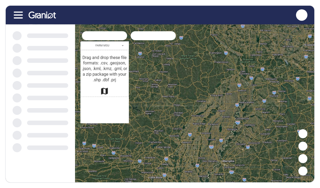
Upload GIS information Import your GeoJSON, CSV, or KML files.
Choose your imagery: Select very-high-resolution satellite imagery or upload your own UAV imagery.
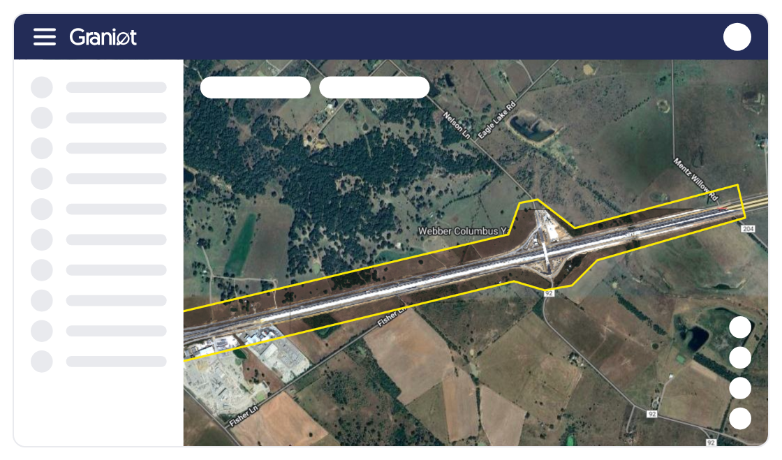
Geospatial analysis: We identify surface materials and earth movements.
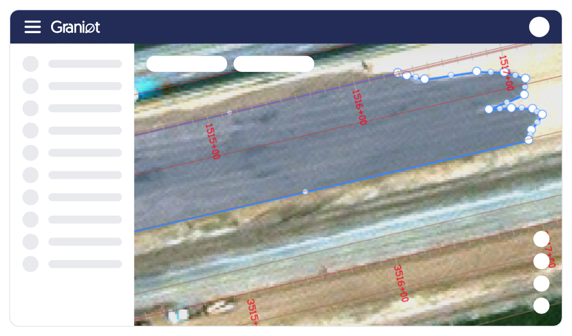
Results on the dashboard View tracking for each road and make decisions.

Request your free trial today and don't wait to hear about it from others.
Real-time monitoring. Access constantly updated data to detect problems before they become emergencies.
Resource optimization. Prioritize interventions and resources based on infrastructure condition, reducing costs and response times.
Guaranteed regulatory compliance. Ensure infrastructure meets current legal and safety standards.
Early failure detection. Identify deformations, cracks, or deterioration at early stages, enabling preventive repairs.
Easy integration. Connect seamlessly with your current management system via our API or embedded maps, without disrupting your workflow.
Global scalability. Manage thousands of kilometers of road infrastructure, regardless of location, with the same precision and efficiency.


I see the real condition of every tree and apply inputs only where my crop actually needs them.

I process thousands of parcels in a single submission and get the results without operational bottlenecks.

Now I have the exact inventory of my trees and real control over what's happening on my estate.
I have all my parcels organized on the platform and it saves me a lot of time every day.

Graniot's embedded maps let us easily incorporate satellite technology into Dataris.
Send us your questions or requirements. Our team of experts will contact you to design a tailored solution that boosts your operational efficiency.
Get a continuous view of your plantation's health through advanced vegetation indices, anticipating water or nutrient problems and making decisions based on real, up-to-date data.

Use geospatial intelligence for tree-by-tree analysis, enabling precise inventory management, growth-anomaly detection, and optimized input use across every sector of your estate.

Ensure full traceability of your supply chain with non-deforestation reports generated at scale, guaranteeing that every parcel meets European standards for export without legal risk.