Casos de uso
But with satellite imagery, you can see all of them on the same date.
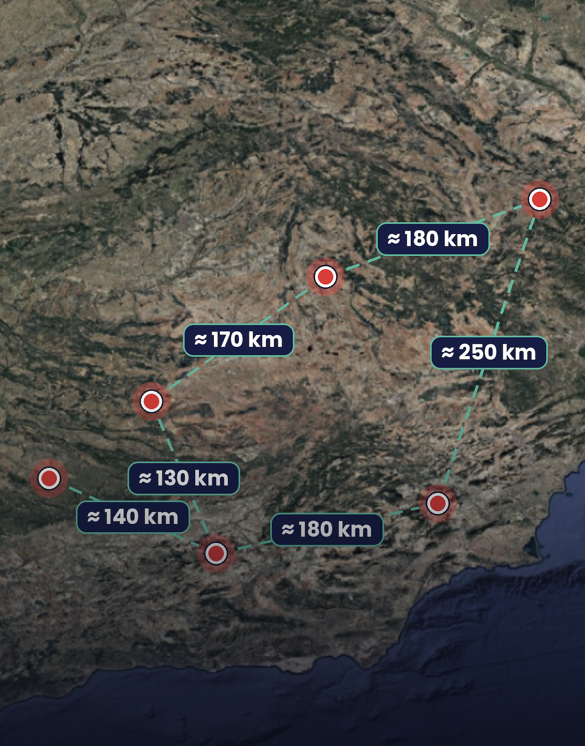
Running one large almond or pistachio farm is demanding enough. When there are several, spread across different regions and hundreds of kilometres apart, the job changes. Whoever is in charge has to look at all of them together and decide which farms are doing well, which blocks need attention and where to put people and budget next season. For that, the information from every farm has to be comparable: collected on the same date, with the same method and the same criteria.
In practice, that rarely happens, because nobody can be on every farm at once.
When plantations are far apart, every inventory means sending a field team or organising drone flights, one farm at a time. Someone has to travel, plan the work, measure and come back, and then do it all again at the next site. Because it takes so much effort, it doesn’t happen often, and when it does, each farm usually ends up measured on a different date, in a slightly different way and sometimes by different people or contractors.
Drones are a great tool for detailed work, and a professional multispectral drone can map up to 200 hectares in a single flight1. Even so, someone still has to travel to every farm to fly it, and every trip adds time and cost. That’s why the usual answer is to survey only part of the land or to rely on older records. It’s an understandable choice, not a mistake, but the result is data that’s hard to compare: different dates, different methods and different criteria for each farm.
You can’t drive to every farm on the same day, but a satellite passes over all of them. A single image date can cover all your plantations at once, wherever they are.
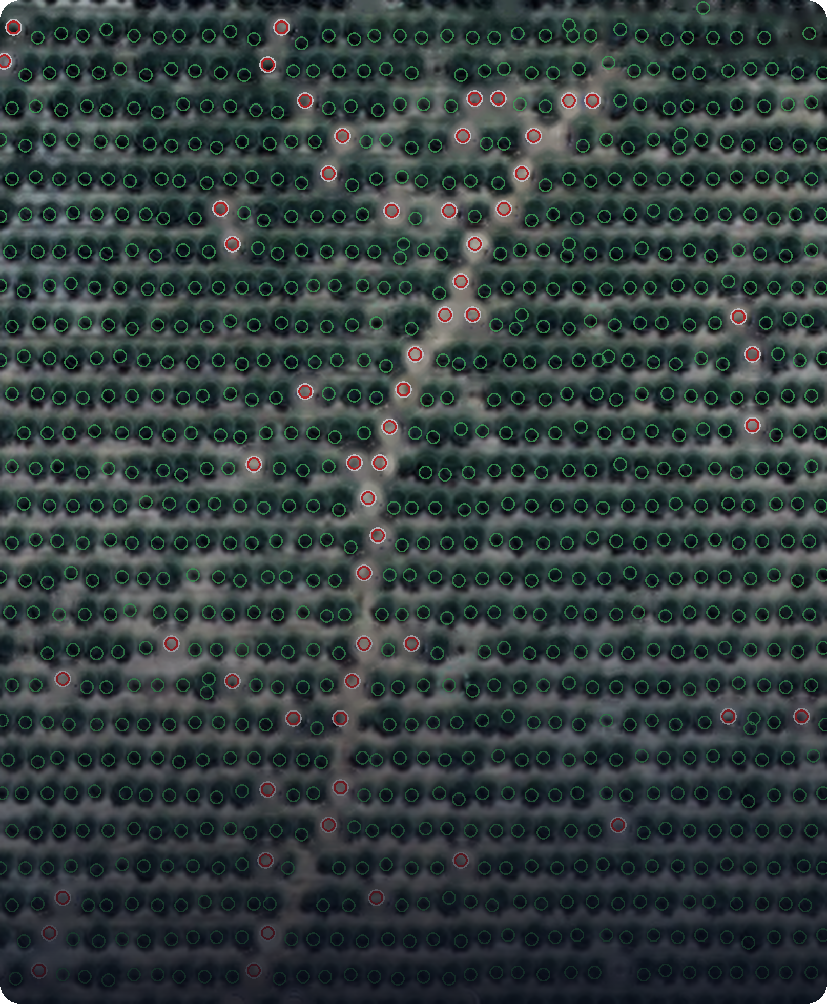
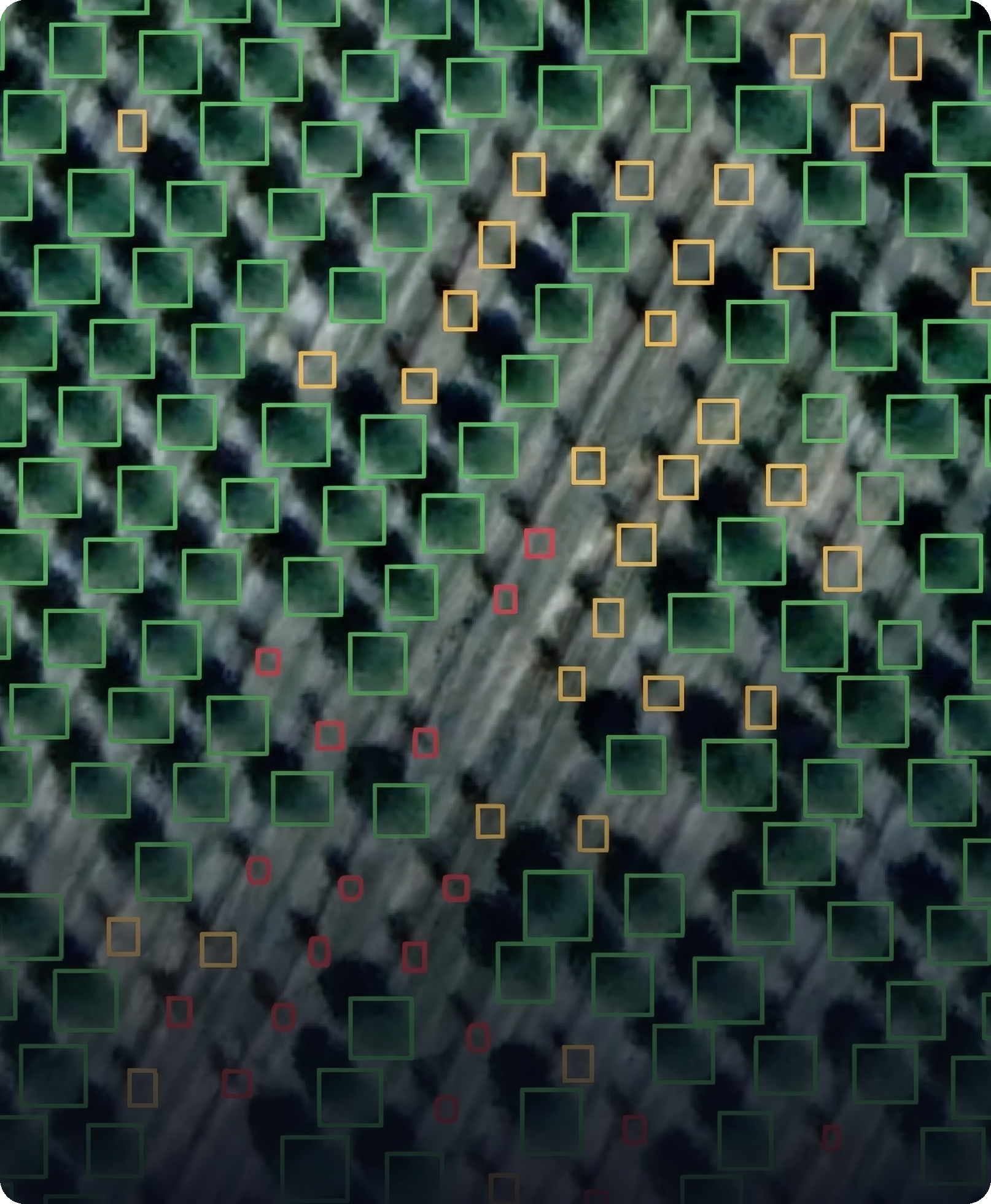
At Graniot, we inventory every farm from satellite imagery of an agreed date and use the same method everywhere: tree count and crown diameter, block by block. What you get is one comparable view of your whole portfolio, where it’s easy to see which farms and which blocks are behaving differently from the rest. That doesn’t replace your drones or your field teams. It tells them where to go first.
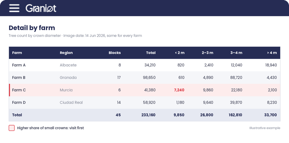
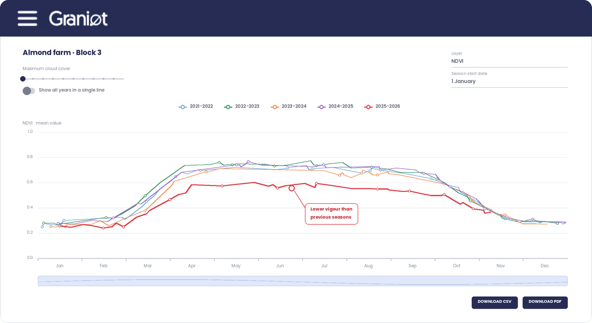
With every farm on the same basis, comparing them stops being a matter of interpretation. Differences between farms are real differences, not the result of measuring them in different months or with different methods. Field teams and drone flights no longer have to cover everything, because they can go straight to the blocks that need a closer look. And planning starts from one picture of the whole portfolio, instead of a collection of surveys taken at different times. How much time and travel you save will depend on how you reorganise field visits, so it’s worth measuring against the way you work today.
It’s better to be clear about the limits from the start. Satellite imagery doesn’t replace a field visit or a drone flight when something needs to be checked up close, and the resolution and dates available depend on the imagery for each area. The value is in using each tool where it works best: satellites for the full, comparable picture, and drones and people for the detail.
A good way to see whether this makes sense for you is to start with your own portfolio. In a Satellite AI Assessment, we sit down with your team for two hours, look at how you survey your farms today and the data you already have, and suggest a first project with a clear way to measure its value.
You can’t be on every farm at once. Your data can.
Leave us your details in the form below and we’ll get back to you.
¹ DJI, Mavic 3 Multispectral, official product page (“Up to 200 hectares per flight”).
Lorem ipsum dolor sit amet, consectetur adipiscing elit. Vivamus vehicula felis quis ex laoreet sagittis. Praesent non libero vel felis aliquam vestibulum. Donec eu scelerisque.